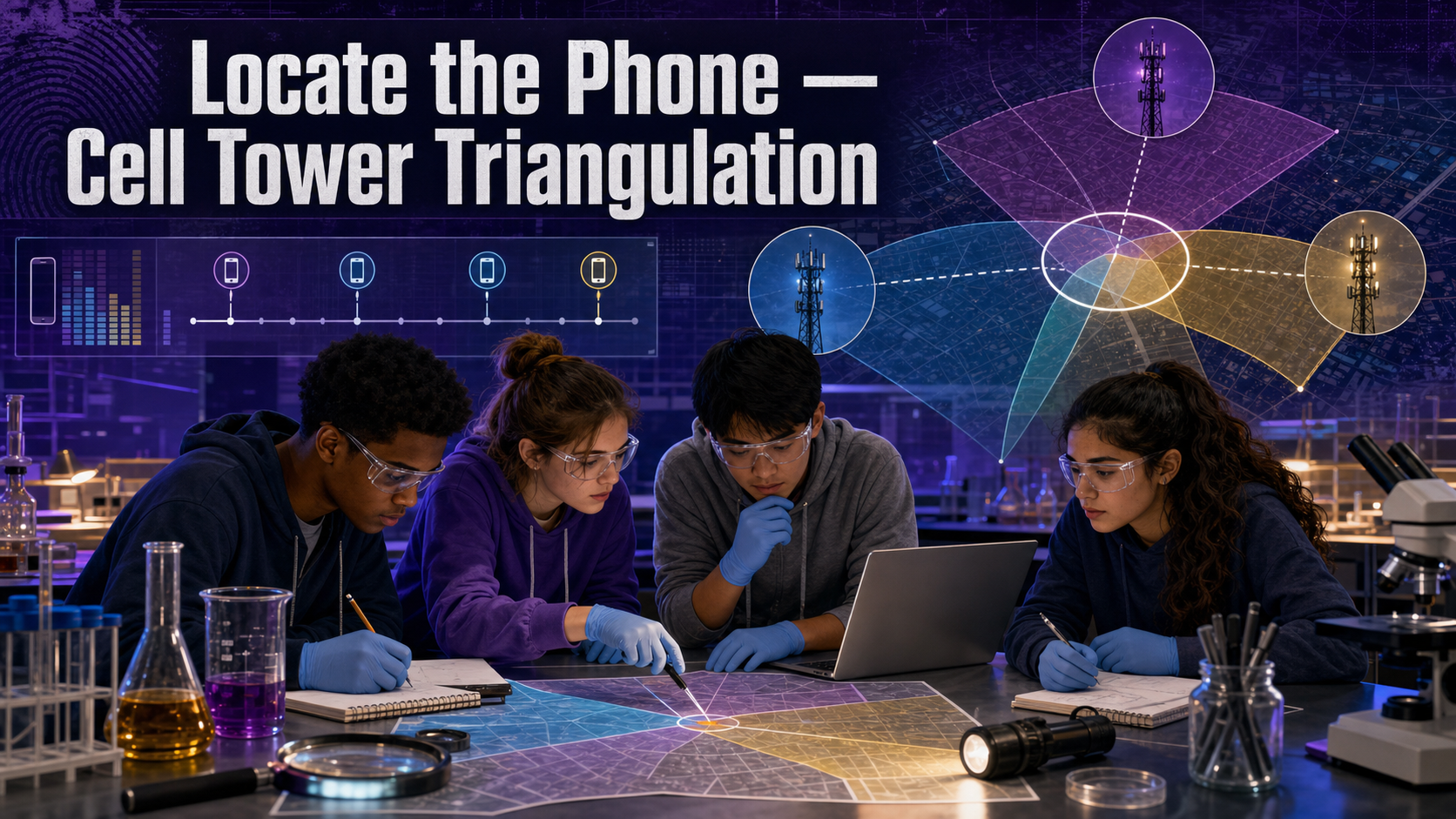
Locate the Phone — Cell Tower Triangulation
Welcome, Investigators!

Every call a phone makes leaves a paper trail — which tower it talked to, how strong the signal was, exactly when. Investigators can turn that trail into a location. But here's the twist you'll learn today: cell towers point to a region, not a pin. Precision and humility. Follow the evidence!
The Case
During a one-hour crime window, a suspect's phone connected to three different cell towers. The suspect says they were nowhere near the scene. The provider's Call Detail Records (CDRs) tell a different story — each record logs the tower, the signal strength, and the timing of the connection.
Your job: use the tower positions, signal strengths, and timing to triangulate the phone's probable location during the window, compare it to where the suspect claims to have been, and — just as importantly — state honestly how precisely tower data can actually pin a phone. Real triangulation gives you a wedge of likely area, not a dot.
Learning Objectives
By the end of this investigation you will be able to:
- Interpret a Call Detail Record table of tower connections.
- Apply signal-strength and timing data to triangulate a probable location.
- Compare the estimated location region to a suspect's claimed whereabouts.
- Evaluate the precision limits of tower geolocation (sector vs. point).
Quick Facts
| Lab type | 💻 Virtual |
| Group size | 2–3 investigators |
| Time | 40–50 minutes |
| Cost | $0 — computer-based |
| Ties to | Ch 17 — Cell Tower Records, Call Detail Records, Tower Triangulation, IMEI Device Identification, GPS Location Data |
Materials
Per group:
- None — a laptop and a browser.
- The instructor's provided CDR evidence table and the suspect's claimed-location statement.
- Assumes access to one computer per group.
Read the Uncertainty, Not Just the Answer

- Tower data locates the phone, not the person holding it — phones get borrowed, lost, and left behind.
- Triangulation from towers produces a probable area, not a GPS-precise point. Reporting a single dot as if it were exact is how tower evidence gets overturned on appeal.
- Use only the provided sample CDR. Real subscriber records are protected and require legal process to obtain.
Background: How Towers Locate a Phone
A cell phone is always in quiet conversation with nearby cell towers. Every call, text, and data session gets logged in a Call Detail Record — the tower used, the time, the duration, and often the signal strength and the tower sector (towers broadcast in wedge-shaped sectors, usually three per tower). Each phone also has a unique IMEI number identifying the device itself.
Signal strength is a rough proxy for distance: a strong signal usually means the phone was close to that tower, a weak one means farther away. Combine the distances to three towers and the phone must lie somewhere that satisfies all three at once — the classic idea behind triangulation. Timing data (how long the signal took to travel) sharpens the estimate.
But here's the catch investigators must always state: towers don't return a point. Their range varies with terrain, buildings, and network load; a rural tower covers kilometres while a dense-city tower covers a few hundred metres. The honest output is an overlap region — often a sector wedge or an area of a few city blocks — where the phone probably was. "Probably in this area" is powerful; "exactly here" overstates what the physics allows.
Explore: CDR Tower Triangulation
CDR Tower Triangulation Interactive MicroSim
Type: microsim
sim-id: cdr-tower-triangulation
Library: p5.js
Status: Specified
Learning Objective: Estimate a phone's probable-location region from three towers' signal ranges and read the uncertainty of the overlap (Bloom Level 4 — Analyze).
Adjust each tower's signal-strength ring and watch the overlap region shrink or grow. Notice how three rings rarely meet at one clean point — they enclose an area. That area, not a dot, is your answer.
Procedure
Part 1 — Read the records.
- Open the CDR evidence table. For each connection during the crime window, note the tower ID, time, and signal strength.
- On the map (or the MicroSim), mark the position of each of the three towers the phone used.
- Confirm the connections all belong to the same device by checking the IMEI.
Part 2 — Triangulate.
- Translate each tower's signal strength into an approximate range ring (stronger signal = smaller ring, closer to the tower).
- Draw all three rings. The region where they overlap is the phone's probable location during that connection.
- Repeat for each time point in the window so you can see whether the phone was stationary or moving.
Part 3 — Compare and qualify.
- Mark the suspect's claimed location on the same map.
- Decide whether the claimed location falls inside or outside your overlap region.
- Write your location conclusion with an explicit uncertainty — the size of the region, not a single point.
Data Collection
| Time | Tower ID | Signal strength | Approx. range | Overlap region (describe) |
|---|---|---|---|---|
Analysis Questions
- Describe the overlap region for the crime window. Roughly how large is it — a block, a neighborhood, a few kilometres?
- Does the suspect's claimed location fall inside or outside that region? What does that let you conclude — and what does it not let you conclude?
- Why does a stronger signal generally mean the phone was closer to a tower? Name one thing that could break that assumption.
- A prosecutor wants you to testify that the phone was "at 42 Main Street." Why should you refuse to state it that precisely, and what would you say instead?
- The evidence locates the phone, not the person. Give one realistic scenario where the phone was in the region but the suspect was not.
Deliverable
Turn in a Probable-Location Statement: a map (or sketch) showing the three towers, their range rings, and the shaded overlap region, plus a written conclusion that names the probable area, states its size as an uncertainty radius, and says clearly whether it supports or contradicts the alibi.
What Does the Data Tell Us?

The best cell-tower testimony sounds almost cautious: "The phone was probably within this several-block area." That hedge isn't weakness — it's honesty about what the physics can and can't prove. A dot on a map that pretends to be exact is the kind of overreach that gets convictions thrown out.
Extension Challenge: When the Phone Has GPS
Modern phones also log GPS location data, which is far more precise than tower triangulation — often within metres. Research one difference between how GPS and tower location are generated, and explain why an investigator might still rely on tower CDRs even when GPS exists (hint: the phone must have logged it, and the data must survive to be recovered).
Teacher Notes
Setup, timing, and grading (click to expand)
- Prep: Build a CDR table with 3 towers and 3–4 time points whose overlap region clearly lands away from the suspect's claimed location. Place towers on a simple grid map so range rings are easy to draw. Vary the tower spacing so the overlap is a believable area, not a point.
- The uncertainty is the lesson. Grade down any conclusion that reports a single exact address; grade up conclusions that state a region and a radius.
- Differentiation: For a shorter run, give pre-drawn range rings and have groups only find the overlap. For a challenge, add a fourth tower with a contradictory reading and ask which record to trust and why.
- Assessment focus: Reward explicit uncertainty language and the phone-vs- person distinction over a "confident" but overstated pinpoint.
Case Closed — For Now

You put a phone on the map and you were honest about how big the map pin really is. That balance — powerful evidence, carefully qualified — is exactly what separates real forensic analysis from a TV plot twist. Follow the evidence!